We provide seamless integration between GIS and environmental services teams.
Ecobot is a natural resources consulting platform built specifically for wetland scientists and their GIS teammates.
Our customers report saving 50% of the time it used to take to do wetland delineations and related GIS work.
“With no manual effort, map features collected in the field can now be dropped directly into ArcGIS Pro. This will revolutionize how our industry works.”
Jeremy Schewe, PWS
Chief Scientific Officer
No other wetland delineation app provides faster, more accurate support for natural resources consultants. And nothing else is as tightly integrated with Esri ArcGIS as Ecobot.
Here are just a few of Ecobot's amazing features:
→ Ecobot is an Esri Partner
→ Map Wetland Polygons and Points
→ ArcGIS-Ready
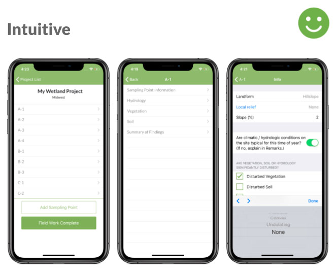
→ Zero Onboarding Effort
→ 100% Functional Offline
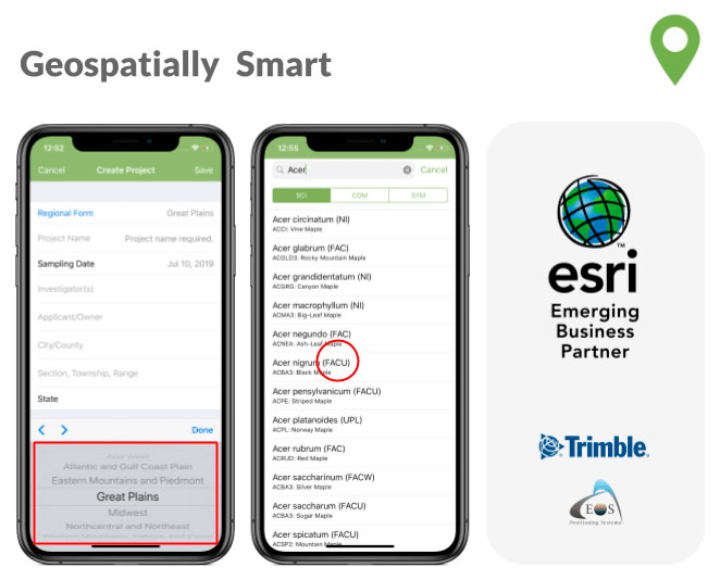
→ Regionally-Specific Interface, Indicators
→ Vegetation Lookup Tool / NWPL
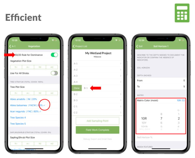
→ Automated 50/20 Dominance
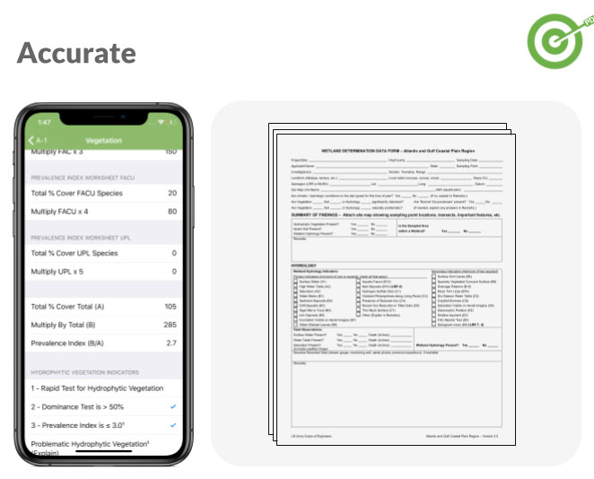
→ Automated Dominance/Prevalence
→ Instant USACE PDFs
Efficient. Geospatially-Smart. Accurate. Intuitive.
We can't wait to share Ecobot with you!
